Journey Plotter
Posted: Sat Apr 04, 2020 10:40 am
Journey Plotter
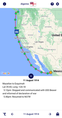
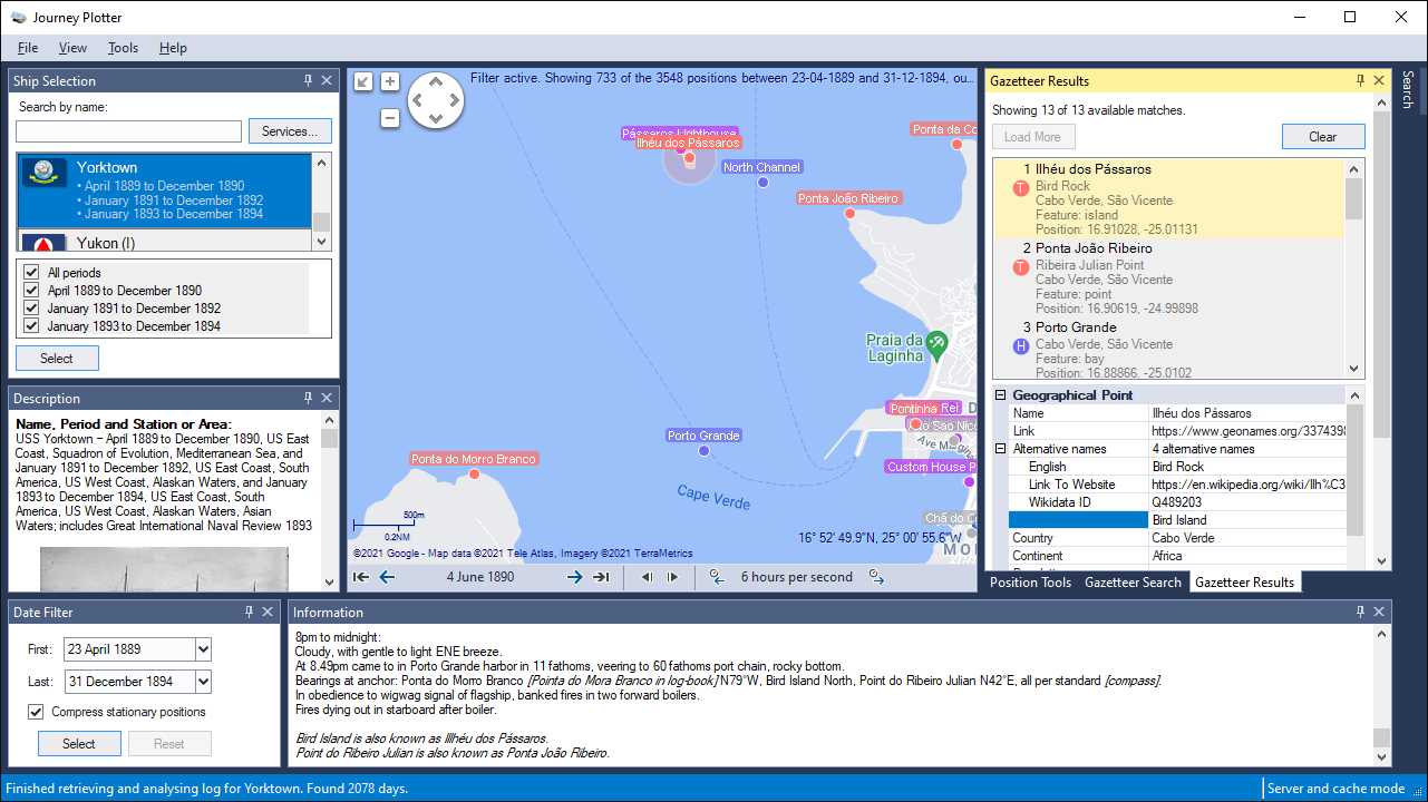
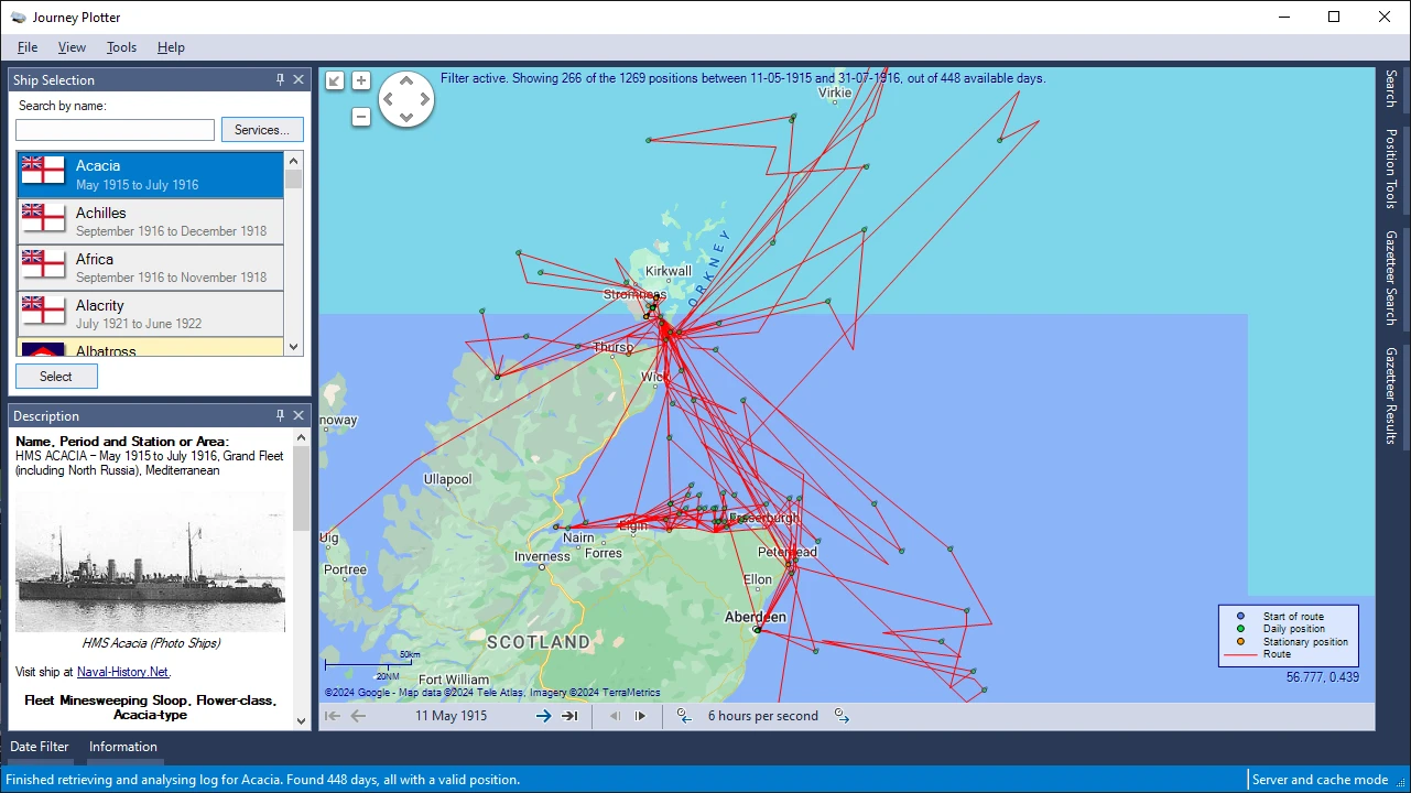
Like probably many of you, I've often wondered what the journey of a Royal Navy ship that I've worked on would look like on a map.
To fulfil my own curiosity I started working on a Windows application that could do just that.
I found it so satisfying that I felt I had to share it with others.
I therefore made Journey Plotter available for free to you, too.
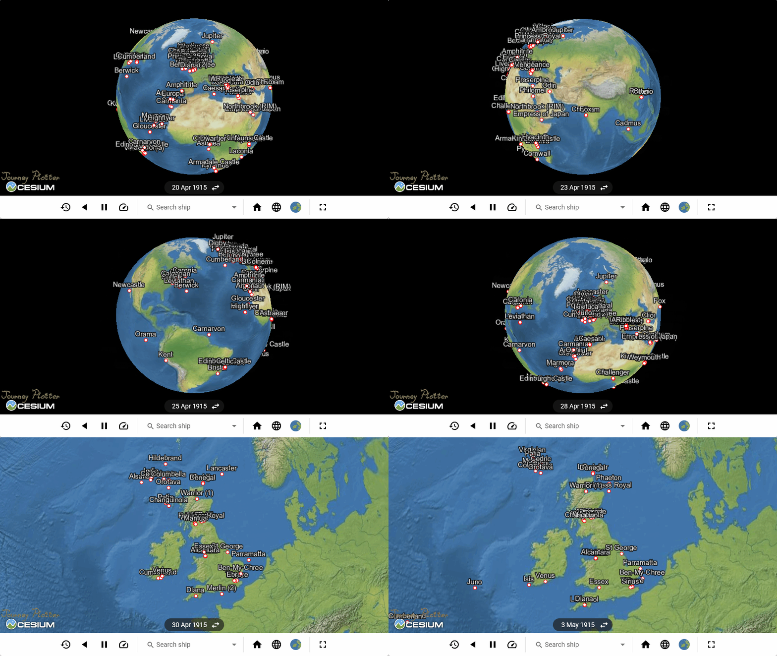
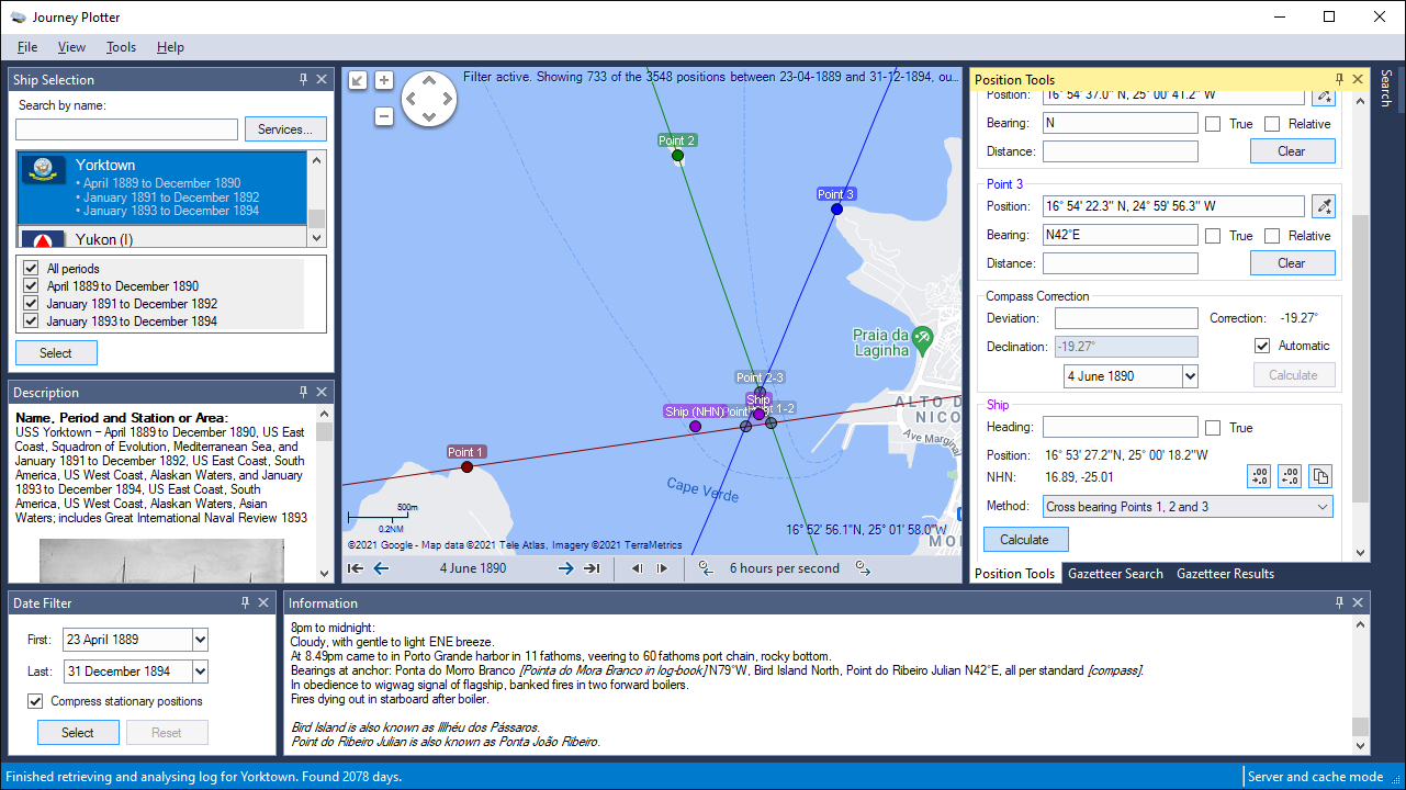
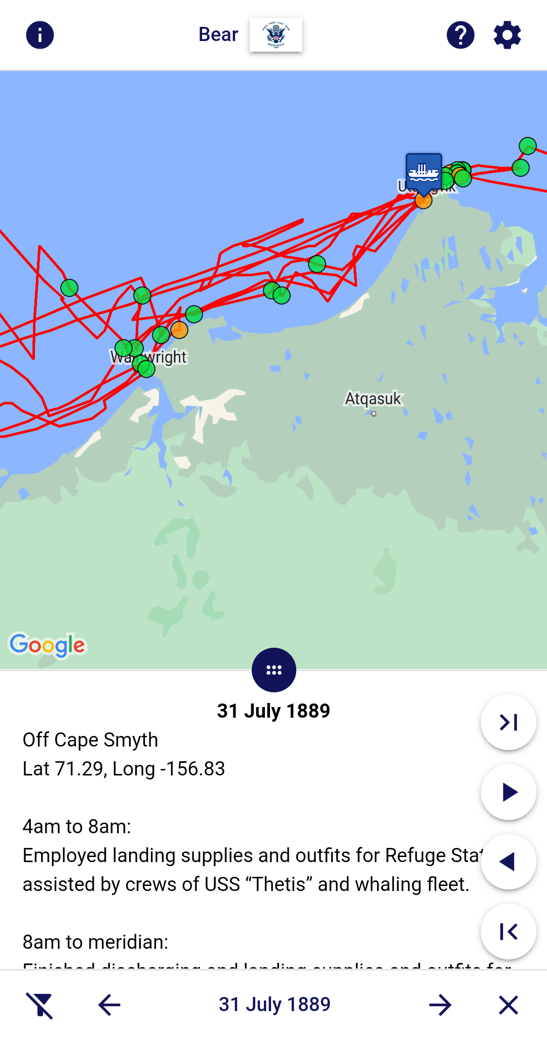
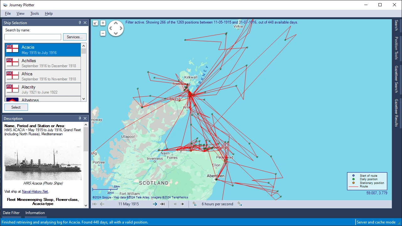
Journey Plotter is a Windows application for visualizing journeys of Royal Navy vessels of the World War 1-era, or Arctic voyages of United States vessels from the mid 19th century onwards.
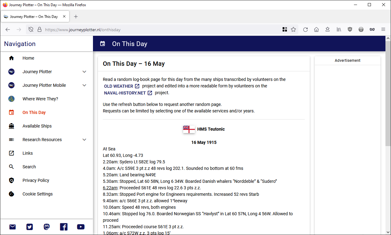
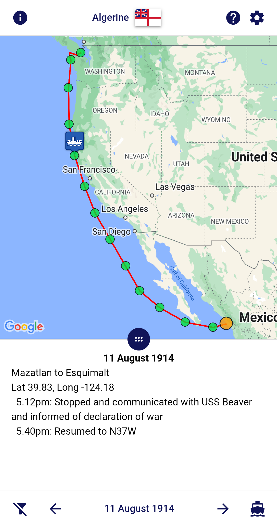
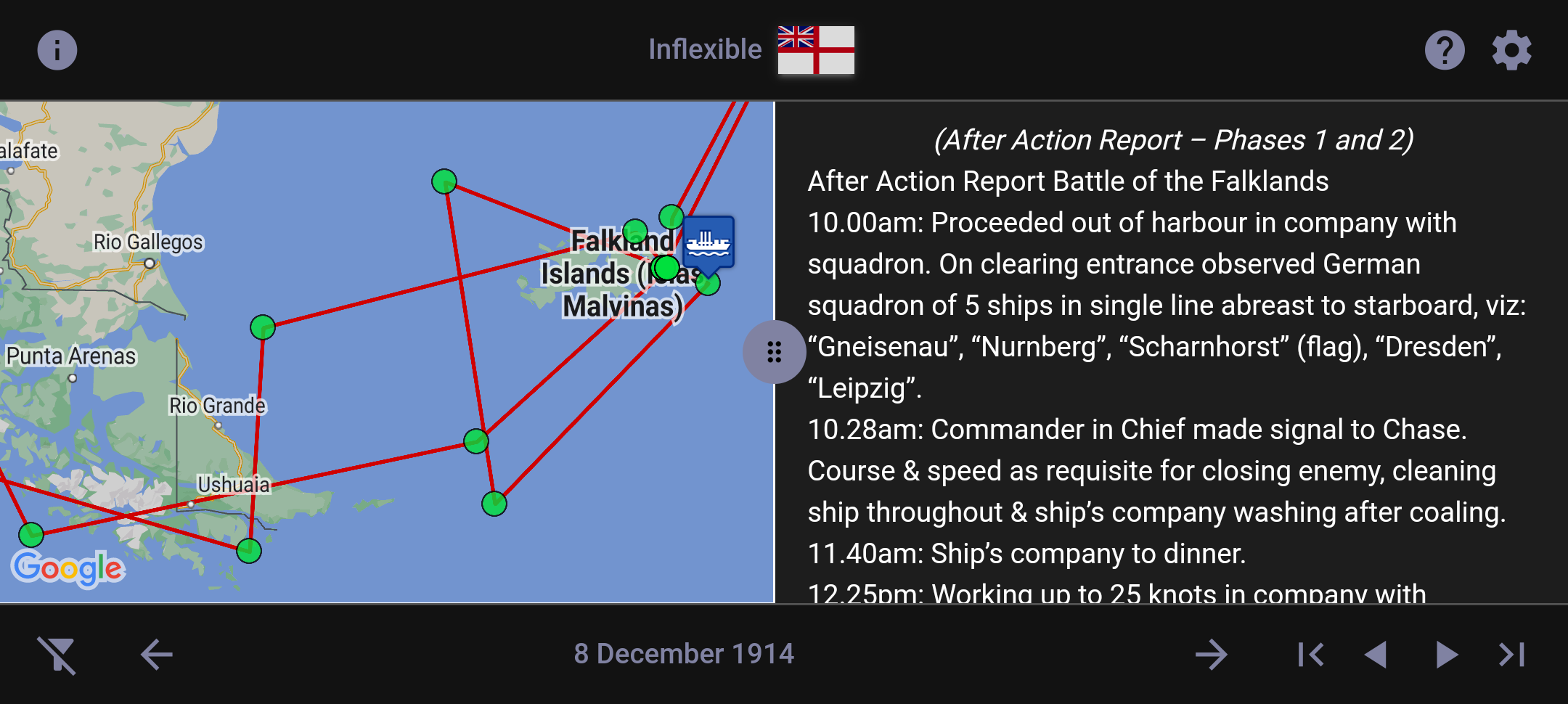
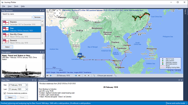
For a given day, you can see the ship's position and read the log-book entries that describe activities on board.
Journey Plotter makes use of data from original Royal Navy and United States log-books that has been digitised and then made available by Naval-History.Net.
The log-books have been transcribed by volunteers on the Old Weather project and edited into a more readable form by volunteers on the Naval-History.Net project.
Journey Plotter allows you to:
If you're interested in Journey Plotter follow the link to learn more about it: https://www.journeyplotter.nl/
Journey Plotter can also be followed on Mastodon, Bluesky and Facebook.
Edit: removed Twitter link
Like probably many of you, I've often wondered what the journey of a Royal Navy ship that I've worked on would look like on a map.
To fulfil my own curiosity I started working on a Windows application that could do just that.
I found it so satisfying that I felt I had to share it with others.
I therefore made Journey Plotter available for free to you, too.
Journey Plotter is a Windows application for visualizing journeys of Royal Navy vessels of the World War 1-era, or Arctic voyages of United States vessels from the mid 19th century onwards.
For a given day, you can see the ship's position and read the log-book entries that describe activities on board.
Journey Plotter makes use of data from original Royal Navy and United States log-books that has been digitised and then made available by Naval-History.Net.
The log-books have been transcribed by volunteers on the Old Weather project and edited into a more readable form by volunteers on the Naval-History.Net project.
Journey Plotter allows you to:
- Run Windows platforms from Windows 7 onward.
- Customize it's environment, including theming.
- Select a ship from Royal Navy WW1-era or United States Arctic ships since mid-19th century.
- Show information about the selected ship and her log-book editor.
- Use the map provider of your choice:
- Bing
- OpenSeaMap
- OpenStreetMap
- For most map providers the map, satellite, terrain or hybrid view can be used.
- Pan and zoom the map.
- Show a route line.
- Show position markers. Different markers can be used to indicate gaps in dates and stationary positions.
- Change the position format.
- Filter by date.
- Walk though dates manually, or animate the journey.
- For a given day, show the log-book entries that describe the ship's activities.
- Search for text in the ship's logs.
- Automatically read all parts of multi-part logs.
- Indicate duplicate dates.
- Save a map as an image.
- Use many customizable settings, such as route and marker colours and sizes, animation speed, position format and map provider access mode.

If you're interested in Journey Plotter follow the link to learn more about it: https://www.journeyplotter.nl/
Journey Plotter can also be followed on Mastodon, Bluesky and Facebook.
Edit: removed Twitter link
